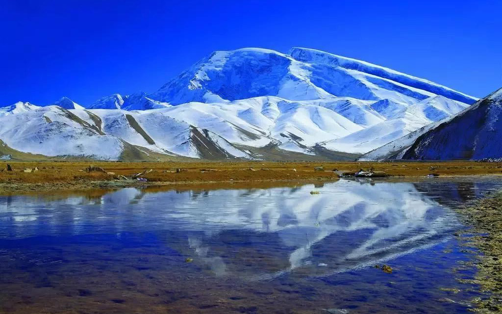
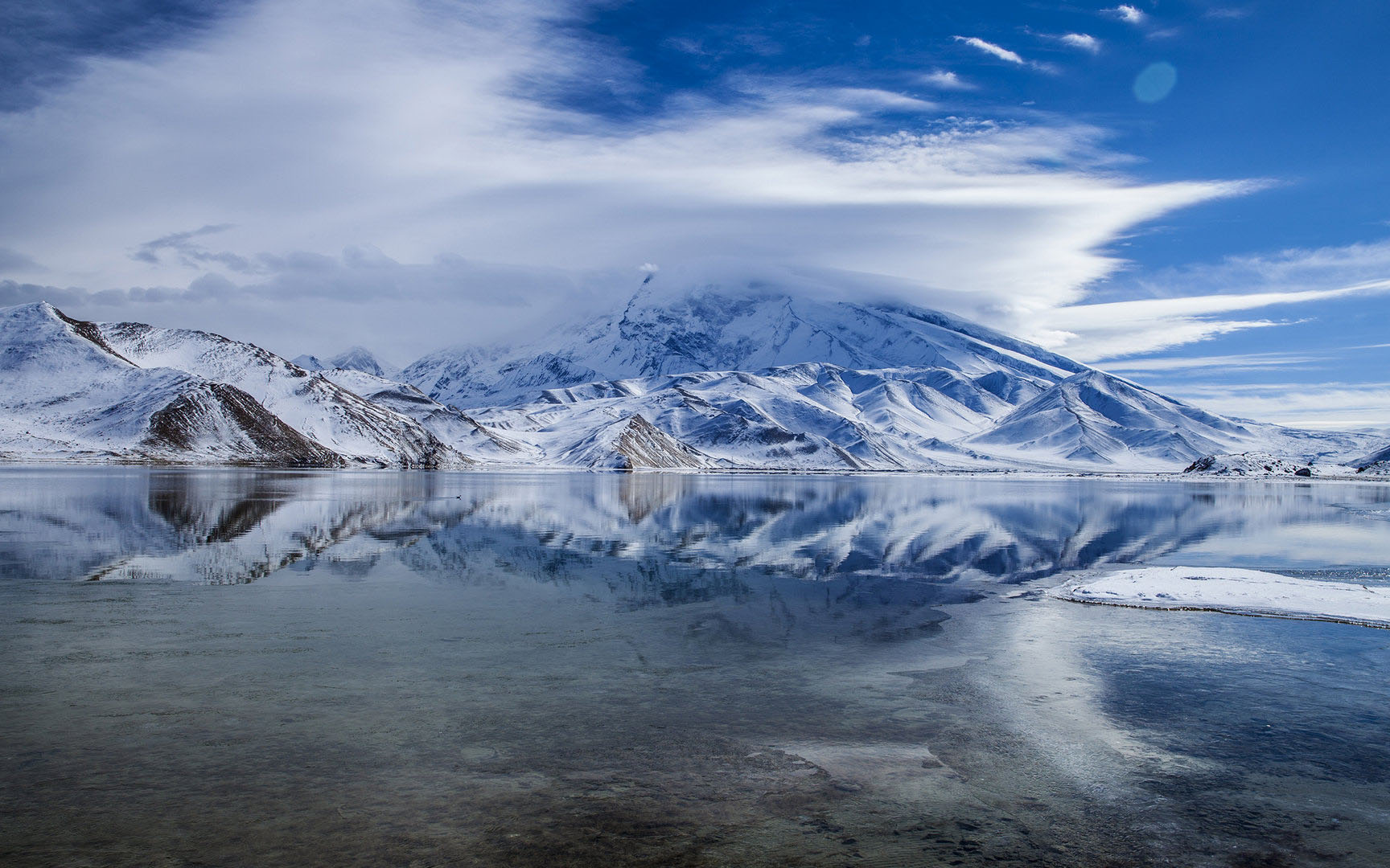
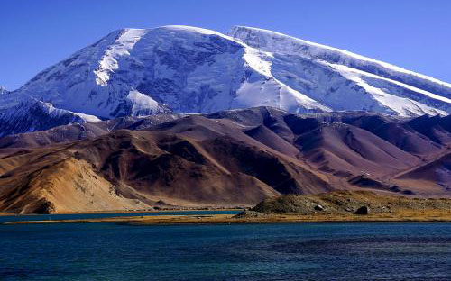
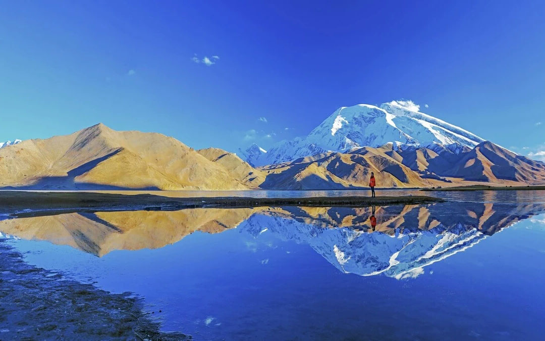
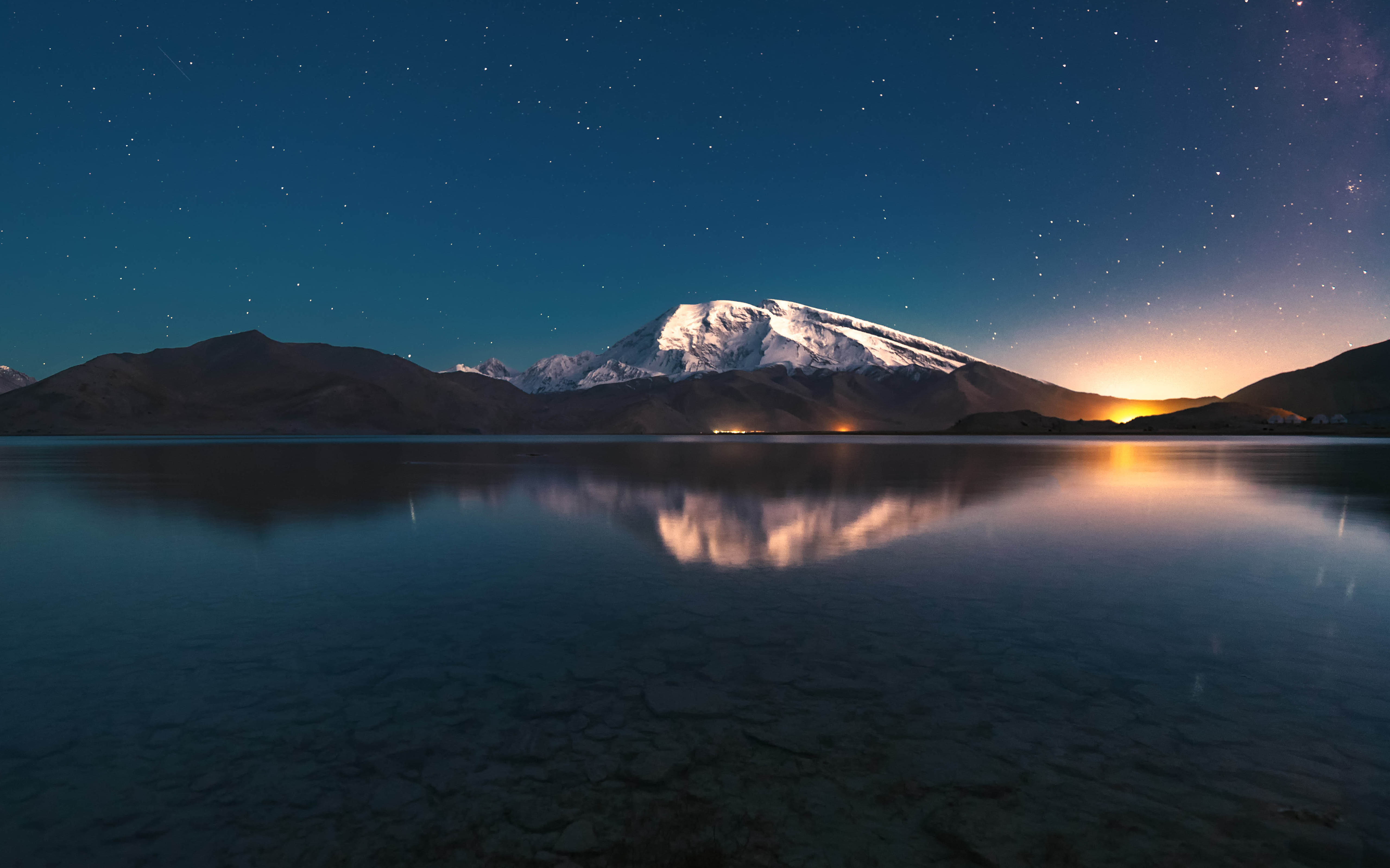
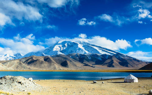
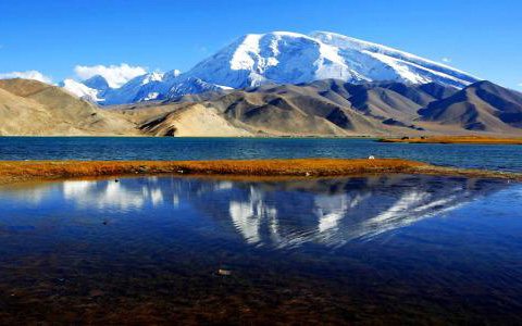
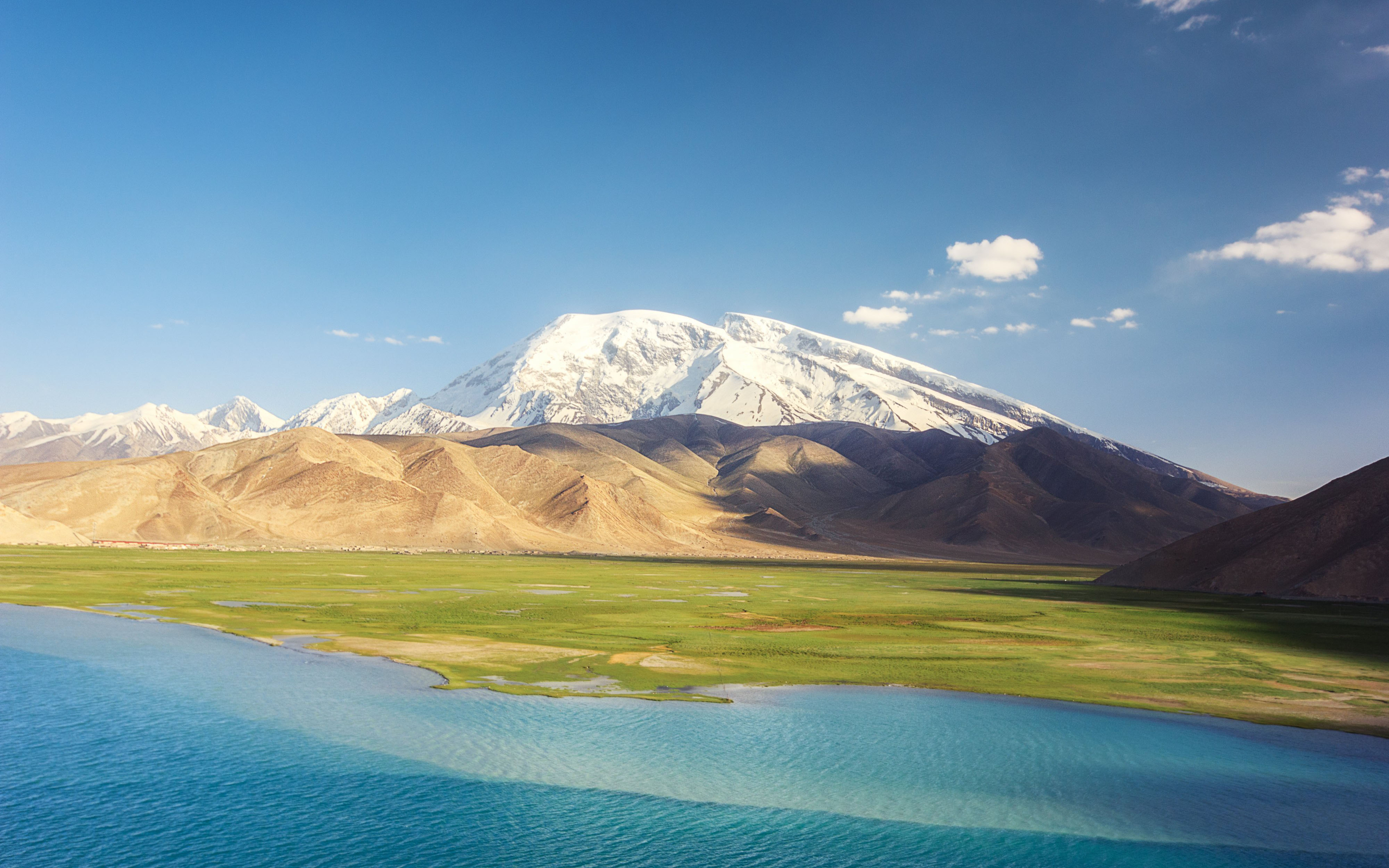
Muztagh Ata, also spelled as Muztagata, meaning : “Father of Ice Mountain”, is one of the biggest glaciers in China. It is 7546 meters above sea level. It is located in Aktu county of Kizilsu Kirgiz Autonomous Prefecture on the Karakorum Highway next to Karakul Lake.
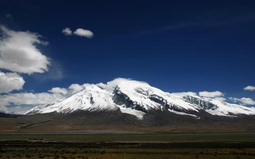
Muztagh Ata, or Muztagata, is the second highest of the mountains which form the northern edge of the Tibetan Plateau. It is sometimes regarded as being part of the Kunlun Mountains, although physically it is more closely connected to the Pamirs. It is also one of the relatively easier 7,000 m peaks in the world to climb, due to its gentle western slope and the comparatively drier weather of Xinjiang, though a thorough acclimatization period and a very strong physical condition are crucial for success.
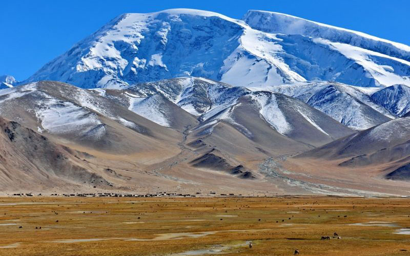
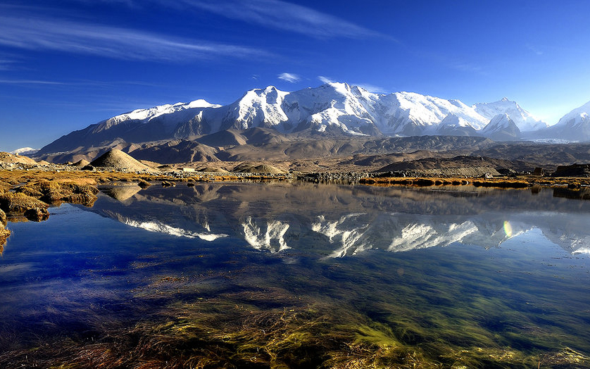
Muztahg Ata lies south of Kunlun Mountain, Pamir plateau is to the west, KunLun Mountain & Tian Shan Mountains are to the north. Muztahg Ata is near Konger nine peaks. Among Konger nine peaks, the highest peak is 7719m above sea level. It is a wild landscape for those interested in trekking.
The first person to climb Muztagh Ata was the Swedish explorer Sven Hedin in 1894. He attempted to reach the summit by riding yaks and was accompanied by local Kirgiz guides. Unfortunately, they didn’t reach the summit. Attempts in 1900, 1904 and 1947 by other experience and famous climbers were also unsuccessful. In 1956, a group of Soviet and Chinese climbers successfully made it to the summit by using the west ridge. Today, there are several routes which climbers use to reach the summit.

