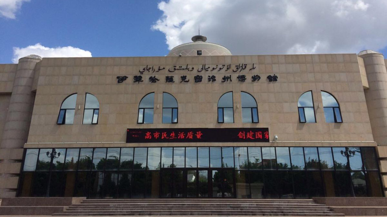
Ili (also as Yili; Chinese: 伊犁哈萨克自治州;) is an autonomous prefecture for Kazak people in Xinjiang Uyghur Autonomous Region, China, one of 5 autonomous prefectures in Xinjiang. Yining City is its capital. It is bordered by Mongolia, Russian Federation and Republic of Kazakhstan on the northeast to southwest, with a boundary line of 2,019 kilometers. Including Khorgas, Bakhty (巴克图) and Jeminay, there are 9 ports of entry at the national level. With the unique location advantage, Ili has been an important commercial hub and international channel of opening up to the west.
The autonomous prefecture covers an area of 268,591 square kilometers, accounting for 16.18% of Xinjiang's. As of 2018, the household population (户籍人口) is 4,582.5 thousand; of that, minority population is 2,745.5 thousand, accounting for 59.91% of the total. In the territory of its direct-administered county-level divisions, the area is 56,622 square kilometers, accounting for 21.08% of the total. Its household population is 2,930.6 thousand, accounting for 63.95%.
The Kazakh autonomous prefecture of Ili (伊犁哈萨克自治州) is a special case of administrative divisions in China, its legal status is actually an administrative division at prefecture - level. It is the only autonomous prefecture in the country that has both directly administered county-level divisions and prefectures under its jurisdiction. When the People's Republic of China was established in 1949, the 3 prefectures of Altay, Ili and Tacheng were directly under the leadership of Xinjiang provincial government. The Mongol autonomous prefecture of Bortala was founded from Bole, Jinghe and Wenquan 3 counties of Ili Prefecture (伊犁专区) in July 1954. The Kazakh autonomous prefecture of Ili had 3 prefectures of Altay, Ili and Tacheng under its administration when it was established in November 1954. The Ili Prefecture (伊犁专区) firstly cesed to be as a separate prefectue in December 1955, its county-level administrative units were directly administered by the autonomous prefecture of Ili. Since then, the Kazakh autonomous prefecture of Ili has existed as a separate administrative division. Its administrative divisions have either been reduced to the geographical scope of the former Ili Prefecture or expanded back to the territory of the former 3 prefectures. As a separate administrative unit, Ili Prefecture (伊犁地区) existed until its final dissolution in 2001.
History
Early history
Before the advent of the Qin dynasty (221 BC – 206 BC), Ili was occupied by the Ussuns, a tributary tribe of the Huns. The Ussuns were driven away in the 6th century AD by the northern Xiongnu, who established the Turkic Khaganate in 552. Later this Khulja territory became a dependency of Dzungaria. During the Tang dynasty (618–907), the khanate became the Protectorate General to Pacify the West of the Tang Empire.
The Uyghur Khaganate, and in the 12th century the Kara-Khitai, took possession of the area in turn. Genghis Khan conquered Kulja in the 13th century, and the Mongol Khans resided in the valley of the Ili. It is supposed that the Oirats conquered it at the end of the 16th or the beginning of the 17th century.
Qing dynasty
The Oirats, or more precisely Dzungars, controlled both Dzungaria and the Ili Basin until 1755 as the Dzungar Khanate, when it was annexed by the Manchu-run Qing dynasty under the Qianlong Emperor. Having defeated the Dzungars in the Dzungarian and Ili Basins, as well as the Afaqi Khojas in Kashgaria, the Qing court decided to make the Ili basin the main base of their control in Xinjiang.
In the 1760s, the Qing built nine fortified towns (九城) in the Ili Basin:
The first General of Ili was Ming Rui. The Qing tradition, unbroken until the days of Zuo Zongtang in the 1870s, was to only appoint Manchus as officials in Xinjiang.Huiyuan Cheng, as the seat of the General of Ili, the chief commander of the Qing troops in Xinjiang, became the administrative capital of the region. It was provided with a large penal establishment and a strong garrison.
This city was called New Kulja, Manhcu Kulja, Chinese Kulja, or Ili by the Russians and Westerners, to distinguish it from Nigyuan/Yining, known as Old Kulja or Taranchi Kulja.
During the insurrection of 1864 the Dungans and Taranchis of the area formed the Taranchi Sultanate. Huiyuan (Manchu Kulja) was the last Qing fortress in the Ili Valley to fall to the rebels. The insurgent Dungans massacred most of Manchu Kulja's inhabitants; Governor General Mingsioi (Ming Xü) assembled his family and staff in his mansion, and blew it up, dying under its ruins.
The sultanate led to the occupation of the Ili basin (Kulja in contemporary Western terms) by the Russians in 1871. Ten years later the territory was restored to China, and its boundary with Russia was assigned in accordance to the Treaty of Saint Petersburg (1881).
In October 1884, the Qing Government officially approved the foundation of Xinjiang Province. First of all, a major reform of General Ili system was made, and the Amban (军府制) and Baig systems (伯克制) were abolished and replaced by circuit, urban prefecture, prefecture and county systems. Although General Ili still existed, but its name was changed to "Ili Garrison General" (伊犁驻防将军). its power and management scope greatly were reduced, no longer the military affairs in the entire territory of Xinjiang, only the military and defensive affairs in Ili and Tacheng, and the Ili Garrison General and Xinjiang Grand coordinator (新疆巡抚) were separate directly under the Qing Government. As a sudivision of Xinjiang Province, Yita Circuit (伊塔道) was formed in Ili and Tacheng in 1888, it was headquartered in Ningyuan County (present Yining). Yita Circuit was divided into Ili Prefecture (Yili Fu, 伊犁府), Tacheng Direct-administered Division (塔城直隶厅) and Jinghe Direct-administered Division (精河直隶厅). Meanwhile, Ili Garrison General in charge of frontier defence and station troops, was headquartered in Huiyuan Town. Altay region was formed from Khovd (科布多; headquartered in Khovd Town) in 1904.
Modern times
The Xinhai Revolution broke out in October 1911. Under the leadship of Yang Zuanxu (楊纘緒), a general of Ili New Army, an armed rebellion against Qing Government broke out on January 7, 1912. The rebels occupied Huiyuan Town and killed Zhi Rui (志锐), the Ili Garrison General, whose predecessor Guang Fu (广福) served as the military governor (都督) of Ili provisional government. On February 12, 1912, the Provisional Government of the Republic of China was established in Beijing, and on March 15, the Beijing government ordered Yuan Dahua (袁大化) of the Xinjiang Grand Goordinator (新疆巡抚) to end the Qing dynasty's rule in Xinjiang. The conflict between the two sides was over, the position of military governor (都督) replaced grand goordinator (巡抚). On April 25, Yuan Dahua was forced to announce his resignation from the grand goordinator of Xinjiang. On May 18, with shrewdness and actual strength, Yang Zengxin (杨增新) was recommended for the Military Governor of Xinjiang, meanwhile the both sides continued peace negotiations. On July 8, the two sides signed a peace agreement, that the position of Garrison General of Ili (伊犁驻防将军) was replaced by Defence Governor of Ili (伊犁镇边使) with the responsibilities and rights by the former garrison general of Ili. Guang Fu (广福) still served as the Defence Governor of Ili (伊犁镇边使) under the jurisdiction of Beijing central government. The two sides confirmed republican and democratic system, Yang Zengxin presided over the military and political affairs, and recognized Yang Zengxin as the top military and political chief in the whole territory of Xinjiang. In August 1912, the Nationalist Government adjusted administrative divisions, the Defence Governor of Ili (伊犁镇边使) headquartered in Huiyuan Town, the Counsellor (参赞) established from Tacheng and the Business Executive (办事长官) found in Altay were directly under the central government, as a division of local civil affairs, Yita Circuit (伊塔道) was retained and under the administraion of the Defence Governor of Ili (伊犁镇边使).
The position of Ili Defence Governor (伊犁镇边使) was vacant after that Guang Fu died of illness on February 1, 1914. Yang Zengxin, the Military Governor of Xinjiang flew a petition to Beiyang government, finally Yang Feixia (杨飞霞) held the position of Ili Defence Governor (伊犁镇守使), its administrative jurisdiction was changed to Xinjiang Province from the central government. Yita Circuit was divided into Ili and Tacheng two circuits, the circuit governor of Tacheng (塔城道尹) replaced the counsellor of Tacheng (塔城参赞) with the establishment of Tacheng Circuit (塔城道) in 1916. The Beiyang government assigned the Altay Chief to Xinjiang Province and Ashan Circuit (阿山道) of Xinjiang was established from the Altay region in 1919. With the decree for the abolition of minggans (千户长) and centenarii (百户长), and the establishment of district and township divisions issued in August 1939, Kazakh pastoralist affairs was gradually integrated into Local government services.
Ili Prefecure (伊犁专区) was established in 1943, there were 11 counties and Xinyuan Division (新源设治局, present Xinyuan County), including Yining, Suiding (绥定; part of present Huocheng), Khorgas (present Huocheng), Gongliu, Tekes, Gongha (巩哈, present Nilka), Ningxi (宁西, present Qapqal), Jinghe, Bole, Wenquan and Zhaosu Counties under its administration. In December 1953, the Ili Kazakh Autonomous Region was approved to set up, it was an administrative division at prefecure-level and under the jurisdiction of Xinjiang Province, the 3 prefectures of Ili, Tacheng and Altay were under its administration. The Mongol autonomous prefecture of Bortala was found from Bole, Jinghe and Wenquan 3 counties of Ili Prefecture (伊犁专区) in July 1954. Ili Kazakh Autonomous Region was renamed to Ili Kazakh Autonomous Prefecture on February 5, 1955.
Geography
The autonomous prefecture of Ili is located in the hinterland of Eurasia, the northwest of Xinjiang and north of Tianshan, between the north latitude of 40 degrees 14′16″ - 49 degrees 10′45″, the east longitude of 80 degrees 09′42″ - 91 degrees 01′45″. It covers a total area of 268,591 square kilometers, accounting for 16.18% of the total area of Xinjiang. The autonomous prefecture, which is bordered on the east by Mongolia, by Aksu Prefecture, Bayingolin Autonomous Prefecture, Changji Autonomous Prefecture, Ürümqi City and the provincial direct-administered county-level city of Shihezi to the south, by Bortala Autonomous Prefecture to the west, by the Republic of Kazakhstan to the northwest, by the Russian Federation to the north, the prefecture-level city of Karamay in the middle south, is located in the north west corner of China. Chongqing-Xinjiang-Europe Railway, G218, G217 National Highways, and S316 Provincial Highway pass through its territory. With a boundary line of 2,019 kilometers, including Khorgas, Bakhty (巴克图) and Jeminay, there are 9 ports of entry at the national level. With the unique location advantage, Ili has been an important commercial hub and international channel of opening up to the west.
In the autonomous prefecture, there are four types of landforms, 83,632 square kilometres of mountains, 62,989 square kilometres of hills, 102,974 square kilometres of plains, 20,439 square kilometres of deserts. Three major mountain ranges of Altai, Dzungar (准噶尔山) and Tianshan with year-round ice and snow stand from north to south. Located in Burqin County, the highest Friendship Peak of the Altai Range is 4,374 meters high, the snow line is 3,000 - 3,200 meters high, the glacier area is 293.2 square kilometers, and the glacier reserves are 16.4 billion cubic meters. The peaks of Dzungar Mountains (准噶尔山) are 3,500-3,700 meters high. The snow line of Tianshan Mountains is 3,600-4,400 meters high with a glacier area of 3,139 square kilometers and its glacier reserves of 118.5 billion cubic meters.
Administrative divisions
Ili Kazakh Autonomous Prefecture is administratively divided into three parts -- Altay Prefecture and Tacheng Prefecture, together with a direct-administered region that includes Yining City, 2 other county-level cities, 7 counties, and 1 autonomous county. In the legal status itself is only a prefecture-level division, which is a special case in China's administrative divisions. It is not accurate to regard Ili Kazakh Autonomous Region as a sub-provincial division, which has no legal basis. This situation can only assume that, the autonomous prefecture enjoys partial authority in sub-provincial division. Its direct-administered region is exactly coterminous with the historical area that in the past was often called by Russians and Westerners as Kulja or Kuldja.
Tourism
Ili Kazakh Autonomous Prefecture is a famous tourist destination for its relatively humid climate, which earned its reputation as 'wetland in Central Asia'. Major tourist attractions include Narati Grassland, Guozigou and Kanas Lake. In 2015 alone, Ili has seen over 25 million travellers and earned over 19 billion CNY (US$2.92 billion) tourism receipts.
Transport
Road and Railway
An extensive road network is being built across the prefecture for economic development. In 2015, 66 million passengers travelled on road.
The railway has extended to both the very north part of Altay City and the westmost city of Khorgas on the China-Kazakhstan border.

